Drone Photography for Real Estate in Alanya
The ultimate guide to aerial property marketing. Learn how drone photography can transform your listings and help properties sell faster for higher prices in 2026.
Imagine showcasing your Alanya villa with breathtaking aerial views of the Mediterranean coastline, the Taurus Mountains, and the ancient castle, all in a single photo. That's the power of drone photography for real estate. It's not just about pretty pictures anymore. It's about showing buyers exactly what they're getting from a perspective that ground-level photos simply can't match.
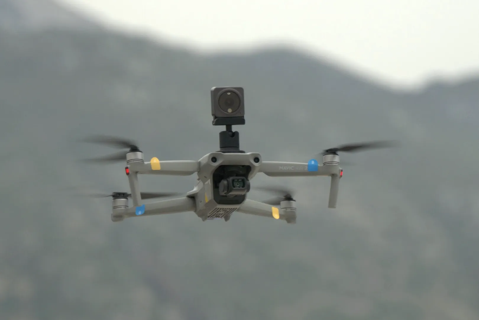
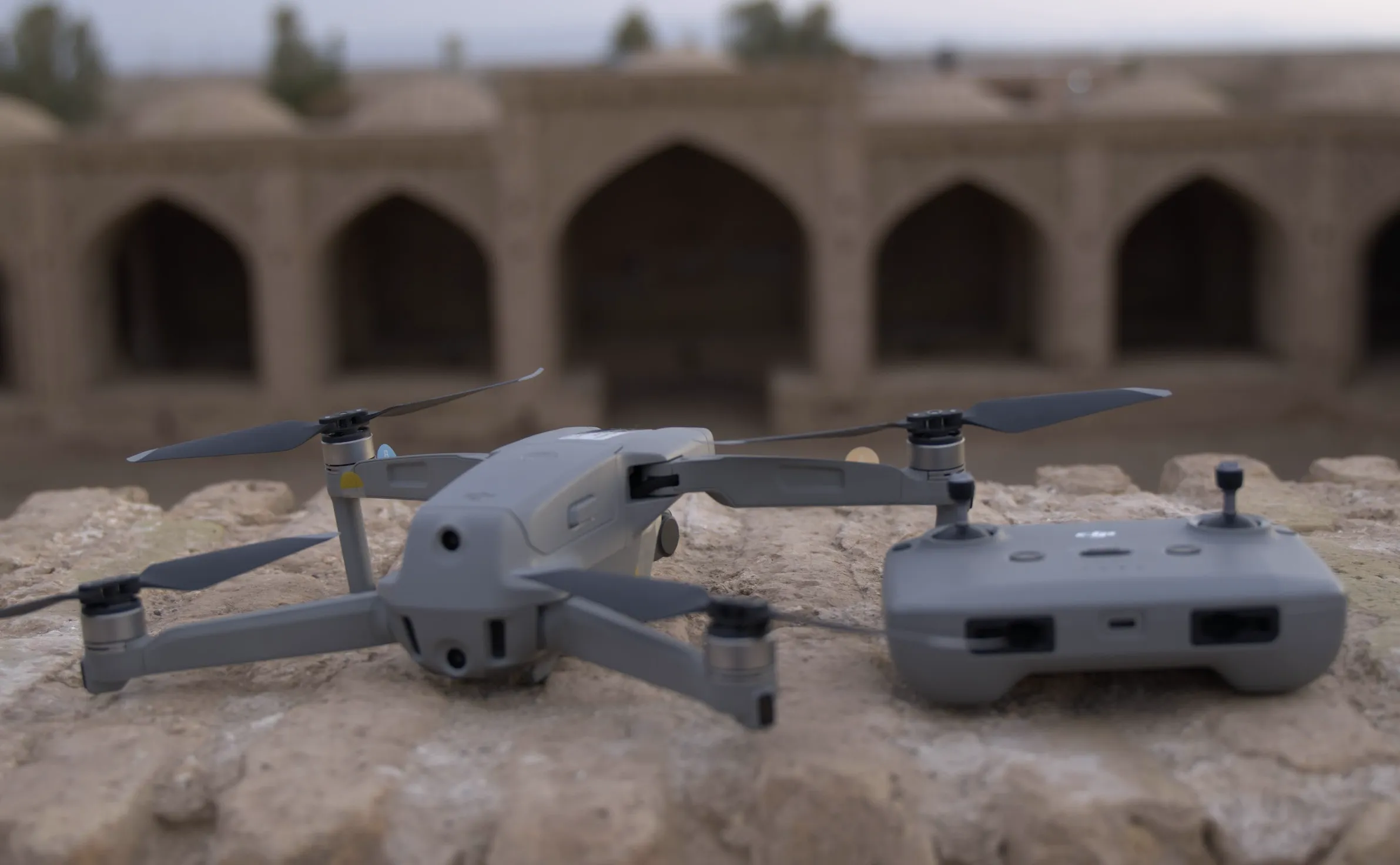
I've been flying drones over properties across the Alanya region for years now, and I've seen firsthand how aerial photography transforms the way people see and buy property here. Whether you're a real estate agent trying to stand out in a competitive market or a property owner looking to sell for the best possible price, drone photography has become one of the most powerful tools in your marketing arsenal. Through my commercial photography and videography services, I've helped hundreds of properties get the attention they deserve.
In this comprehensive guide, I'll walk you through everything you need to know about drone photography for real estate in Alanya. From the legal requirements you need to be aware of to pricing, best locations, and how to maximize your investment in aerial photography.
Why Drone Photography Matters for Alanya Real Estate
Let me share some numbers that might surprise you. Properties with drone photography receive significantly more attention than those with only ground-level photos. But what does that actually mean for you?
💡 Key Insight
Properties with drone photography consistently outperform traditional listings in every measurable metric. The investment pays for itself many times over.
Location, Location, Location
Here's the thing about Alanya properties that most sellers don't realize. Your biggest selling points are often invisible from ground level. How do you show a potential buyer that your villa is just 200 meters from the beach? Or that you have unobstructed mountain views? Or that the ancient castle provides a stunning backdrop?
You can write it in your listing description, sure. But a drone photo shows it instantly. No explanation needed. I had a client with a villa in Kargıcak who was struggling to sell. The ground-level photos looked nice, but they didn't convey the property's real value. After adding drone shots that showed the beach proximity and stunning coastline, inquiries tripled within two weeks. The property sold for 150,000 TRY over asking.
Beach Proximity
Show actual distance to beach, not just claim it. Aerial shots prove your property's coastal advantages.
Mountain Views
Capture the Taurus Mountains as a backdrop. Show the panoramic views buyers will wake up to.
Castle Context
Alanya Castle is a major attraction. Drone shots can include it as a stunning backdrop for your property.
Property Boundaries
Show total land size, garden layout, pool area, and outdoor spaces all in one clear shot.
Standing Out from the Competition
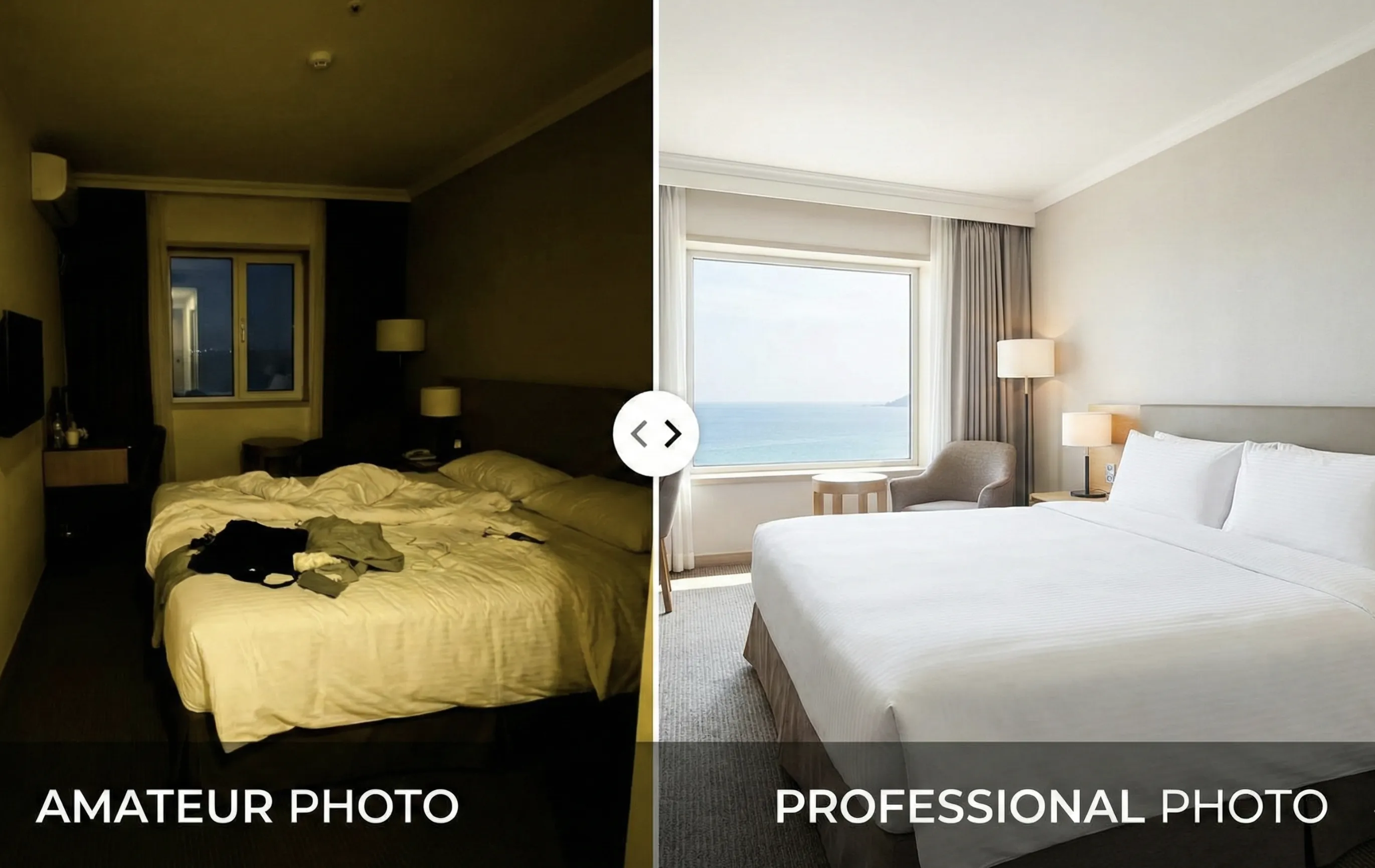
Let's be honest, most property listings in Alanya still use only ground-level photos. Some are taken with smartphones. Many are poorly lit or badly composed. When your listing appears with professional drone photography, it immediately signals premium quality. Serious buyers, especially international ones, notice the difference.
This is particularly important for the international buyer market. Many property buyers in Alanya come from Northern Europe, Russia, and the Middle East. These buyers often can't visit properties in person before making decisions. For them, comprehensive drone footage provides the confidence they need to purchase remotely. They can see exactly what they're getting: the neighborhood, the surroundings, the proximity to amenities, everything.
What Drone Real Estate Photography Includes
When you book a drone photography session for your property, what exactly do you get? Let me break down the typical packages so you know what to expect.
Standard Drone Package
A standard package typically includes 5-10 high-resolution aerial photos that cover all the essential angles:
- Property Overview Shot: The entire property captured from the optimal angle to show full context
- Proximity Shots: Distance to beach, nearby landmarks like the castle or marina, and neighborhood context
- Top-Down Vertical Shot: Shows property layout, pool and garden areas, and demonstrates true size
- Multi-Directional Angles: Best angles for views, architectural features, and surroundings
- Detail Shots: Focused captures of pool area, rooftop terrace, or garden from above
Premium Drone Package
For properties that deserve extra attention, a premium package adds dynamic elements that really make listings stand out:
- Aerial Video (30-60 seconds): Cinematic flyover that reveals the property gradually, perfect for social media
- 360° Aerial Panorama: Complete view in all directions, can be integrated into virtual tours
- Twilight Drone Shots: Dramatic evening lighting with property lights illuminated, stunning visual impact
- Neighborhood Tour: Fly-through of the local area showing amenities, beach access, restaurants, and shopping
💡 Pro Tip
Combining drone photography with professional ground-level real estate photography creates the most comprehensive listing possible. The two complement each other perfectly.
Drone Regulations in Turkey and Alanya
This is the part that most people skip, but it's actually really important. Drone photography in Turkey is regulated, and for good reason. Flying a drone without proper licensing isn't just risky, it's illegal and can result in serious penalties.
⚠️ Important Legal Notice
Operating a drone commercially in Turkey requires proper licensing, registration, and insurance. Penalties for illegal drone operation can include fines up to 30,000 TRY, drone confiscation, and even criminal charges.
Legal Requirements for Commercial Drone Operations
-
Pilot License (SHT)
Required for all commercial drone use. Issued by DGCA (General Directorate of Civil Aviation) after written exam and practical test.
-
Drone Registration
All drones used commercially must be registered with DGCA. This includes mandatory insurance requirements.
-
Flight Permits
Certain areas require advance permits obtained through the DGCA system. May require 24-72 hours notice depending on location.
Restricted Areas in Alanya
| Zone Type | Areas | Status |
|---|---|---|
| No-Fly Zones | Gazipaşa-Alanya Airport (15km radius), military installations, government buildings | Absolutely Prohibited |
| Permit Required | Alanya Castle, historical sites, city center (certain times), some coastal areas, above 120m altitude | Advance Permission Needed |
| Generally Allowed | Most residential areas (with distance from people), private property with permission, mountain and hillside properties | Standard Precautions Apply |
This is exactly why you should always hire a licensed, insured drone photographer. When you work with a professional, all of this is handled for you. The permits, the insurance, the legal compliance, it's all taken care of. You don't need to worry about any of it.
When Drone Photography is Essential (And When It's Not)
I'm going to be honest with you here. Drone photography isn't necessary for every property. Part of my job is helping clients understand where aerial photography adds genuine value, and where their budget might be better spent elsewhere.
Absolutely Essential For:
Villas with Land
Shows boundaries, garden layout, pool, outdoor spaces, and access/parking all in one comprehensive view.
Beachfront Properties
Proves proximity to beach, shows coastline beauty, highlights sea views and demonstrates actual beach access.
New Developments
Shows entire complex layout, highlights facilities (pools, gardens), demonstrates scale and quality.
Properties with Views
Captures both the view AND the property simultaneously. Shows mountain or sea panoramas.
Nice to Have For:
- Mid-Rise Apartments: Adds value for upper floors, shows building exterior and highlights balcony views
- Investment Properties: Shows location advantages, highlights rental potential and accessibility
Probably Not Necessary:
For studio apartments (unless in exceptional locations) or properties in very crowded urban areas where aerial shots won't provide additional value, your budget is often better spent on exceptional interior photography. I'll always give you honest advice about this.
Drone Photography Pricing in Alanya
Pricing varies based on property location, flight complexity, and whether special permits are required. Here's what you can typically expect in 2026:
💡 Best Value
The combined ground and drone package offers the best value for most properties. You get comprehensive coverage that shows both the interior quality and the property's location advantages. Learn more about luxury property photography options.
Best Locations for Drone Photography in Alanya
Not all areas of Alanya are equal when it comes to drone photography. Some locations offer spectacular opportunities while others present challenges. Here's my honest assessment based on years of flying over the region:
⭐ Kargıcak
Perfect for drone photography. Hillside villas with dramatic elevation changes, combined sea and mountain views, fewer flight restrictions, and beautiful natural surroundings make this location ideal. Typical shots include coastline panoramas, villas with sea backdrop, and mountain context.
🏖️ Mahmutlar
Excellent opportunities with beachfront high-rises where drone shots can show proximity to beach, urban and sea contrast, and complex facilities. Perfect for showing how close apartments really are to the Mediterranean.
🏰 Alanya City Center
Permit-dependent area. Castle views require permits, but when obtained, the results are spectacular. Historical context adds unique value to properties in this area.
🌴 Avsallar
Ideal drone territory with new developments, large complexes, plenty of space to fly freely, and resort-style properties. Perfect for developer projects and comprehensive complex overviews.
Weather Conditions and Best Timing
One of the advantages of working in Alanya is the weather. With over 300 sunny days per year, weather rarely causes scheduling problems. But there are still optimal conditions to aim for.
Ideal Conditions
Wind under 10 m/s, clear or partly cloudy, visibility 5+ km, morning or late afternoon for best light.
Acceptable
Wind 10-15 m/s (flyable but less smooth), light overcast, visibility 3-5 km.
No-Fly Conditions
Wind over 15 m/s, rain or snow, fog or heavy haze, extreme heat over 45°C.
I always monitor weather forecasts 3-5 days before a scheduled flight, confirm 24 hours before, and do a final wind and weather check the morning of the shoot. If conditions aren't suitable, we reschedule at no extra charge. Safety always comes first.
"The best time for drone photography in Alanya is typically early morning (8-10 AM) or late afternoon (4-6 PM) when the light is softer and creates more dramatic shadows. The Mediterranean sun at midday can be harsh and wash out details."
Preparing Your Property for Drone Photography
Most preparation for a photo shoot focuses on interior and ground-level shots, but there are specific things that matter for aerial photography:
What to Do:
- Clean the pool area: Very visible from above, water should be crystal clear
- Organize outdoor furniture: Symmetrical arrangements look better from aerial angles
- Mow lawn and trim plants: For villas, landscaping is highly visible from above
- Remove clutter from balconies: For high-rises, balconies are visible in exterior shots
- Clean rooftop terrace: Essential for penthouses, often the hero shot
- Inform neighbors: Courtesy notice, especially for video shoots
What Not to Worry About:
Interior preparation doesn't affect drone shots. Window cleaning isn't critical (unless we're doing extremely close-range work). Minor ground-level details aren't visible from altitude. Save your energy for the things that matter.
Real Results: Before and After
Let me share some actual results from properties I've worked with in Alanya:
Villa in Kargıcak
💰 Result
Sold for 150,000 TRY over asking price. The drone photos showed private location, sea views, and beach distance that ground shots couldn't capture.
Penthouse in Mahmutlar
Had been on the market for 4 months with standard photos. After adding drone photography showing the rooftop terrace and panoramic views, it sold within 3 weeks. Buyers said the aerial shots finally showed them what they'd be getting.
🎯 Key Factor
The terrace size and 360° views were impossible to appreciate from ground-level photos. Drone shots made the difference.
📊 Developer Feedback
"Drone video increased our pre-sales by 40%. International buyers could see exactly what they were getting, even without visiting in person." - New Development in Avsallar
Maximizing Your Drone Photography Investment
Once you have professional drone photos and video, make sure you're using them everywhere:
Property Listings
Use the aerial overview as your primary hero image. It immediately differentiates your listing.
Social Media
Drone shots are highly shareable. They generate engagement and reach potential buyers organically.
Email Marketing
Dramatic aerial shots make excellent email headers and catch attention in crowded inboxes.
Video Tours
Combine aerial footage with ground-level video for comprehensive virtual tours.
For real estate agencies, drone photography also works brilliantly for neighborhood guides and location marketing. You can showcase entire areas of Alanya, highlighting amenities, beaches, and attractions that make your listings more attractive to international buyers.
If you're interested in combining drone photography with a complete digital marketing strategy, we can discuss how aerial content fits into your broader marketing efforts, including social media advertising and SEO.
Frequently Asked Questions
Is drone photography legal in Alanya?
Yes, when conducted by licensed, insured pilots with proper permits. Always verify your photographer's credentials before booking.
Will you need special permission to fly at my property?
Most residential areas don't require advance permits. Properties near airports, military areas, or historical sites may need permits, which I handle as part of the service.
How high will the drone fly?
Typically 20-100 meters altitude for real estate. Legal maximum is 120 meters in most areas. The optimal height depends on the property and what we're trying to capture.
What if it's windy on the scheduled day?
If wind exceeds safe limits (15+ m/s), we reschedule at no charge. Safety always comes first, and the results from a calm day will always be better anyway.
Can drone photos show the interior through windows?
Generally no, and it's not something I do. Drone photography is for exteriors, context, and location. Interior photography is a separate service that complements aerial shots.
How soon will I receive the photos?
Standard delivery is 48 hours. Rush delivery (24 hours or same-day) is available for an additional fee when needed.
Can I use these photos for all my marketing?
Yes! You receive full usage rights for marketing your property across all platforms, including websites, social media, brochures, and international property portals.
Ready to Elevate Your Property Marketing?
Let's showcase your Alanya property from a perspective that sells. Professional drone photography that captures attention and drives results.
Get a Quote View All Services